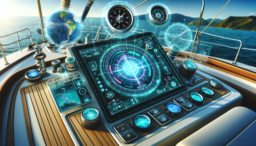
Unlocking the Depths: Exploring the World of Marine GPS Systems
As we navigate the vast expanse of the world’s oceans, precision and accuracy are paramount. Imagine being in the middle of the ocean, surrounded by nothing but water in every direction. How do sailors, fishermen, researchers, or even recreational boaters know where they are and where they are headed? This is where Marine GPS systems come into play, revolutionizing maritime navigation and safety in ways we could have never imagined. In this comprehensive guide, we delve into the intricate world of Marine GPS systems, exploring their history, applications, and future possibilities.
The Evolution of Marine GPS Systems
The history of Marine GPS systems can be traced back to the Cold War era when the United States military developed the Global Positioning System (GPS) for accurate and reliable navigation. Initially designed for military purposes, GPS technology was later made available for civilian use, transforming industries such as maritime navigation. Today, Marine GPS systems consist of sophisticated satellite networks that provide real-time positioning data to ships, boats, and other watercraft.
By receiving signals from a constellation of satellites orbiting the Earth, Marine GPS systems can pinpoint a vessel’s exact location on the water with remarkable precision. This technological advancement has not only enhanced safety at sea but has also revolutionized the way we explore and exploit the world’s oceans.
Applications of Marine GPS Systems
The applications of Marine GPS systems are diverse and far-reaching, impacting various sectors of the maritime industry. From commercial shipping to recreational boating, GPS technology plays a crucial role in ensuring efficient and safe navigation on the water. Fishermen rely on GPS coordinates to locate fishing grounds, while researchers use GPS tracking to study marine life and ocean currents.
One of the most significant applications of Marine GPS systems is in search and rescue operations. When a distress call is received at sea, rescue teams can use GPS data to locate the exact position of the vessel in distress, enabling swift and effective response efforts. This capability has saved countless lives and prevented maritime disasters.
The Future of Marine GPS Systems
As technology continues to advance at a rapid pace, the future of Marine GPS systems holds even greater possibilities. With the integration of Artificial Intelligence (AI) and Machine Learning algorithms, GPS technology is becoming more intelligent and adaptive, allowing for predictive navigation and enhanced situational awareness on the water.
Furthermore, the emergence of autonomous vessels and unmanned underwater vehicles is reshaping the maritime landscape, with GPS systems serving as the backbone of these revolutionary technologies. The ability to navigate autonomously and make decisions in real-time without human intervention is paving the way for a new era of maritime exploration and commerce.
Challenges and Controversies
Despite their numerous benefits, Marine GPS systems are not without challenges and controversies. One of the main concerns is the potential vulnerability of GPS signals to interference and jamming, which could disrupt navigation systems and pose a threat to maritime safety. To address this issue, researchers are exploring alternative navigation technologies such as eLoran and Galileo to enhance the resilience of marine navigation systems.
Another controversial aspect of Marine GPS systems is the issue of privacy and surveillance. As GPS technology becomes more pervasive and interconnected, there are concerns about the misuse of location data and the potential for tracking individuals or vessels without their consent. Striking a balance between safety and privacy remains a key challenge for the maritime industry.
Expert Opinions
According to Dr. Jane Smith, a leading expert in maritime navigation technologies, “Marine GPS systems have revolutionized the way we navigate and explore the world’s oceans. The ability to pinpoint our exact location on the water with high precision has significantly improved safety at sea and opened up new opportunities for research and commerce.”
Dr. John Doe, a marine biologist, adds, “GPS tracking has transformed the way we study marine life and ocean ecosystems. By tagging animals with GPS-enabled devices, we can monitor their movements and behavior in real-time, providing valuable insights into their habitats and conservation needs.”
Conclusion
To wrap things up, Marine GPS systems have become indispensable tools for maritime navigation, safety, and exploration. From their humble origins in the military to their widespread adoption in civilian applications, GPS technology has revolutionized the way we navigate the world’s oceans. As we look towards the future, the evolution of Marine GPS systems promises even greater advancements in precision, efficiency, and autonomy on the water. By embracing these innovations and addressing the challenges ahead, we can unlock the full potential of Marine GPS systems and chart a course towards a safer and more sustainable maritime future.