Nautical Navigation Tools: A Comprehensive Guide
When we think of the vast oceans and the adventures they hold, one cannot help but marvel at the incredible feats of navigation that sailors have accomplished throughout history. From ancient mariners using the stars to modern-day sailors relying on sophisticated technology, the tools of nautical navigation have evolved significantly over time. In this article, we will delve into the fascinating world of nautical navigation tools, exploring their history, significance, and impact on seafaring journeys.
The Astrolabe: Navigating by the Stars
One of the earliest nautical navigation tools used by seafarers was the astrolabe. Developed in ancient Greece, the astrolabe was a handheld instrument used to measure the altitude of celestial bodies, such as the sun and stars, in relation to the horizon. This information allowed sailors to determine their latitude at sea, enabling them to navigate with greater precision.
The astrolabe was a crucial tool for early explorers like Christopher Columbus and Ferdinand Magellan, who relied on celestial navigation to chart their course across the uncharted waters of the world. While the astrolabe may seem primitive by today’s standards, its importance in the history of navigation cannot be understated.
The Compass: Finding True North
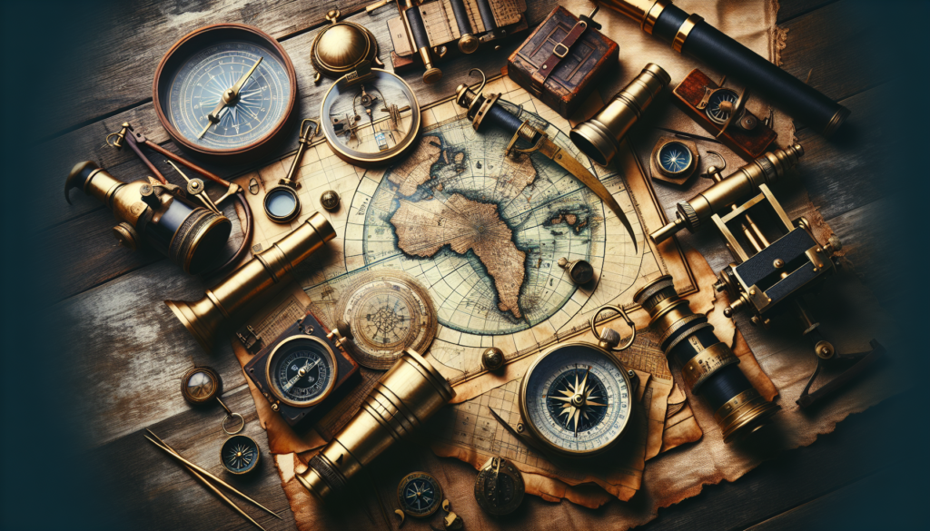
One of the most iconic nautical navigation tools is the compass. Invented in ancient China, the compass revolutionized navigation by providing sailors with a reliable method of determining direction at sea. By aligning with the Earth’s magnetic field, the compass needle always points north, allowing sailors to maintain a consistent heading regardless of their surroundings.
The compass played a crucial role in the Age of Exploration, enabling sailors to venture further from the safety of the coast and into the open ocean. Its simplicity and reliability made the compass a mainstay of nautical navigation for centuries, and it continues to be an essential tool for sailors and mariners today.
The Sextant: Precision at Sea
As seafaring technology advanced, so too did the tools of nautical navigation. The sextant, invented in the 18th century, allowed sailors to measure the angle between two objects, such as the sun and the horizon, with unparalleled accuracy. This information was used to calculate the ship’s position with precision, making the sextant a game-changer for long-distance navigation.
The sextant was instrumental in the development of celestial navigation, a method of determining one’s position at sea using the stars. By combining the sextant with nautical almanacs and tables, sailors were able to plot their course with remarkable accuracy, even in the most challenging conditions.
The Chronometer: Keeping Time at Sea
One of the greatest challenges of nautical navigation was accurately measuring time at sea. Without precise timekeeping, sailors could not accurately calculate their longitude, making it difficult to determine their exact position. The invention of the chronometer in the 18th century revolutionized navigation by providing sailors with a reliable method of keeping time on board ship.
The chronometer was a highly accurate clock that could maintain time to within seconds over long periods. By comparing the local time with the time at a reference point, such as Greenwich Mean Time, sailors could calculate their longitude with precision. This breakthrough in timekeeping was a game-changer for navigation, allowing sailors to explore the farthest reaches of the globe with confidence.
GPS: Navigating in the Digital Age
In the modern era, nautical navigation has been transformed by the Global Positioning System (GPS). Developed by the United States Department of Defense, GPS uses a network of satellites to provide real-time location data to users around the world. For sailors, GPS has revolutionized navigation by offering unprecedented accuracy and reliability at sea.
With GPS, sailors can pinpoint their exact position on the globe with the push of a button, allowing for precise course plotting and navigation. GPS has become an essential tool for mariners of all kinds, from recreational boaters to commercial shipping vessels, ensuring safe and efficient navigation on the open water.
Electronic Chart Plotters: Navigating with Ease
Electronic chart plotters have become a staple of modern nautical navigation, offering sailors a user-friendly way to access and navigate electronic charts. These devices combine GPS technology with digital mapping to provide sailors with real-time position data, route planning, and collision avoidance capabilities.
Electronic chart plotters have revolutionized navigation by offering sailors a wealth of information at their fingertips, from weather updates to depth soundings to points of interest along their route. With intuitive interfaces and customizable features, electronic chart plotters have made navigation easier and more efficient than ever before.
Sonar and Radar: Navigating in Challenging Conditions
For sailors navigating in challenging conditions, tools like sonar and radar are essential for safe and effective navigation. Sonar uses sound waves to detect objects below the surface of the water, providing sailors with information about depth, underwater obstacles, and the seabed topography. Radar, on the other hand, uses radio waves to detect objects in the surrounding environment, such as other vessels, land masses, or navigational hazards.
Both sonar and radar play a crucial role in modern nautical navigation, especially in low visibility or high-traffic areas. By providing sailors with real-time information about their surroundings, these tools help to ensure safe and efficient navigation, even in the most challenging conditions.
Conclusion
In conclusion, nautical navigation tools have played a crucial role in the history of seafaring, enabling sailors to explore the farthest reaches of the globe with precision and confidence. From ancient instruments like the astrolabe and compass to modern technologies like GPS and electronic chart plotters, the tools of navigation have evolved significantly over time, revolutionizing the way we navigate the open water.
Whether sailing the high seas or exploring coastal waters, sailors rely on a diverse array of navigation tools to chart their course and reach their destination safely. By understanding the history, significance, and impact of these tools, we can gain a deeper appreciation for the art and science of nautical navigation, ensuring that sailors continue to navigate the oceans with skill and expertise for generations to come.
So, the next time you gaze out at the endless expanse of the ocean, take a moment to appreciate the incredible tools and technologies that have made seafaring journeys possible throughout history. Nautical navigation tools are not just instruments of guidance, but symbols of human ingenuity and exploration, guiding sailors on their voyages of discovery across the seven seas.


